
 Kontakt
 Wie einkaufen
Versand
Kaufberater
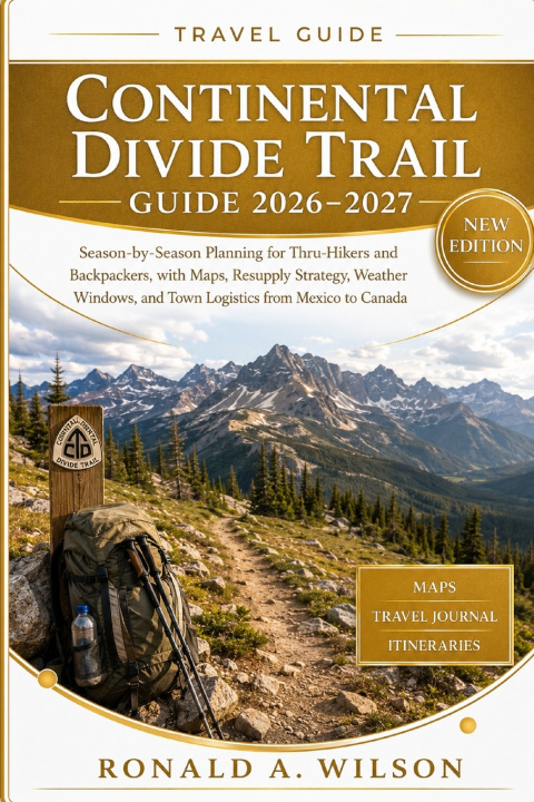
Continental Divide Trail Guide 2026-2027
Season-by-Season Planning for Thru-Hikers and Backpackers, with Maps, Resupply Strategy, Weather Windows, and Town Logistics from Mexico to Canada
 Englisch
 35 b
35 b
 Demnächst
 Neu
Neu
Bis zu 30 Tage Rückgaberecht

Continental Divide Trail Guide 2026-2027
Season-by-Season Planning for Thru-Hikers and Backpackers, with Maps, Resupply Strategy, Weather Windows, and Town Logistics from Mexico to Canada
Some Trails Are Finished For You. This One Isn't.
Nearly 3,000 miles of desert, alpine ridgeline, open basin, and grizzly forest connect Mexico to Canada along the spine of the Rockies. No white blazes mark every step. No single fixed route exists. The Continental Divide Trail asks something the Appalachian Trail and Pacific Crest Trail don't: that you learn to read the land, the weather, and your own judgment, because the trail itself won't always tell you where to go.
That's exactly why experienced hikers seek it out. And it's exactly why a guide written for the AT or PCT will fall short here.
If you've read other CDT guides and felt like something was missing, vague route descriptions, distances that didn't hold up, advice that could apply to any trail anywhere, that instinct was correct. This guide was built specifically to close that gap.
What separates finishing strong from finishing frustrated?
Knowing when a storm building over a Colorado pass means turn back now, not after the first flash of lightning. Knowing which towns can genuinely resupply you and which can't. Knowing whether this year's snowpack makes your planned route straightforward or genuinely dangerous. This guide hands you that judgment, chapter by chapter, before you ever need it in the field.
Inside, you'll find:
Six region specific maps covering the southern terminus, permit offices for Yellowstone and Glacier, and Colorado's high country, the single most season sensitive stretch on the entire trail.
A complete season by season strategy showing how snowpack, monsoon storms, and fire season reshape your route and start date, year after year.
Full planning systems for budgeting, permits, resupply, layering, and physical preparation, built around what this trail specifically demands rather than adapted from another one.
Navigation and safety guidance for reading unmarked terrain, running offline tools where signal doesn't reach, and handling grizzly country properly.
Realistic itineraries, from a weekend trip to a full thru-hike, built on honest pacing ranges rather than invented mileage that falls apart the moment conditions change.
A working toolkit of checklists, worksheets, and a daily planning system built for actual use, not a single read through.
Real questions, answered honestly:
Do I have to hike the official route the whole way? No. Most hikers combine it with well known alternates, standard and accepted practice on this trail specifically.
When should I start? Northbound hikers typically begin in April, southbound in June, both timed to snowmelt rather than the calendar.
Is this trail genuinely harder than the AT or PCT? Most experienced hikers say yes, and the difference comes from navigation demand, not elevation.
This guide won't hand you a polished stage by stage table that looks precise and turns out to be wrong. It hands you something more durable: the ability to plan confidently, adjust honestly, and reach the northern terminus knowing every decision along the way was genuinely yours.
The trail is waiting. Scroll up and start planning the journey that will teach you as much as it tests you.


Informationen zum Buch
Englisch

Verschenken Sie dieses Buch noch heute
Es ist ganz einfach
1 Legen Sie das Buch in Ihren Warenkorb und wählen Sie den Versand als Geschenk 2 Wir schicken Ihnen umgehend einen Gutschein 3 Das Buch wird an die Adresse des beschenkten Empfängers geliefertHallo! Ich bin Libroamiko, dein Buchberater.
Wie kann ich dir helfen?